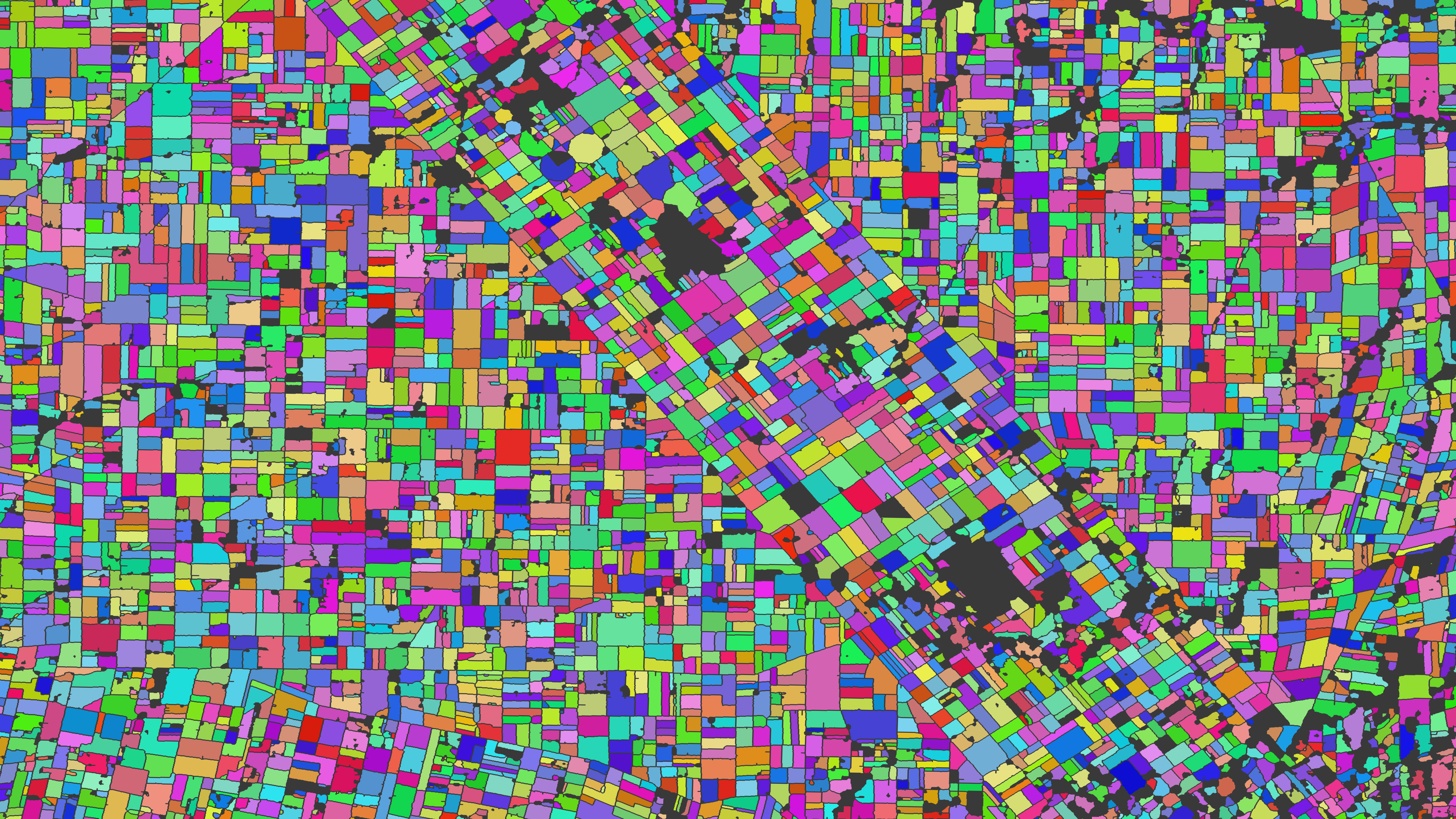
I am a geographer with technical and domain expertise in remote sensing and land change science. My research activities typically involve the characterization of landscape patterns and the analysis of environmental consequences of human land use decisions. Of special interest to me is regional and global agriculture. More specifically, I am interested in developing timely datasets to help guide policy for food security, to improve estimates on crop production, and to identify patterns of intensification and expansion to protect and conserve native habitats. Additionally, I pursue research questions related to changing agrarian practices and small- and large-holder dynamics. My principle tools are remote sensing, image processing, machine learning, time series statistical analyses, and graph networks.

Research interests

Land use/cover change

|

Landscape patterns & trends

|

Remote sensing

|

Spatial-temporal analysis

|

Food security

|

Crop monitoring

|

Machine learning

|

Deep learning

|

Human-environmental interactions

Research projects

Regeneration of woody vegetation

At the University of Queensland, I developed methods to analyze the regrowth of woody vegetation using long-term Landsat and short-term Sentinel time series.

Mapping property values

Together, Robert Heilmayr, Yann le Polain de Waroux, and I are developing methods to estimate property values using remotely sensed data, and investigate the relationships between land value and frontier land speculation in Paraguay and Uruguay.

Time series reconstruction

Satellite data can be useful for time series analyses. However, image acquisitions for most satellites do not occur daily, and clear-sky observations are not guaranteed. Therefore, smoothing methods are necessary in order to reconstruct continuous time series profiles. With colleagues at Boston University, I developed a time series reconstruction method with dynamically-adjusting parameters based on phenology.

Email